

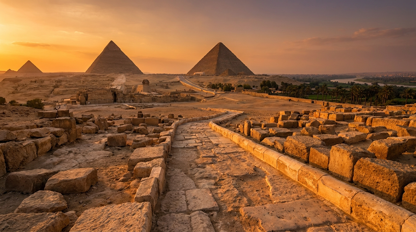
The Egyptians built the pyramids of Giza on that plateau because the site solved three problems at once: stable bedrock that would not sink under the load, Nile access for moving multi-ton stone, and a desert edge that spared farmland the kingdom needed to eat. A sacred layer sits on top of that logic, but the placement itself was an engineering call first.
The Bedrock Under Giza Could Carry the Load
Giza sits on the Mokattam Formation, a band of Eocene-era limestone forming a natural, mostly level plateau above the valley floor.
Building on solid rock instead of sand or river silt matters. A structure the size of the Great Pyramid needs a foundation that will not settle unevenly under its own weight over centuries.
The plateau gave builders exactly that, a hard base they did not have to engineer themselves.
The Nile Put the Building Stone Within Reach
Core blocks came from local quarrying on the plateau, but the fine white casing stone traveled from Tura, across the river, and granite for interior chambers came from Aswan, hundreds of kilometers south.
None of that stone moves without water transport. Research from the Giza Plateau Mapping Project points to a harbor and canal system at the foot of the plateau, letting barges unload close to the build site during the Nile’s flood season, when water reached farther inland than it does today.
The mechanics of that haul, ramps, sledges, wetted sand, are their own story, covered in how the pyramids were really built. The site choice made that logistics chain possible in the first place.
Building on the Desert Edge Spared the Farmland
Giza sits right at the boundary between the cultivated Nile floodplain and open desert, not inside it.
Egypt’s economy ran on the strip of farmable black land the Nile flooded every year. A monument that size on top of it would have cost cropland the kingdom could not spare.
The desert margin was free, stable, and close enough to Memphis, the Old Kingdom capital, to stay within reach of the labor running the project. The wider pattern of how geography shaped Egyptian settlement gets covered in how geography built the Egyptian empire.
The West Bank Carried Religious Weight
Practical reasons explain the plateau. The riverbank explains why pyramids, and most Egyptian tombs generally, sit on the western side of the Nile.
Egyptians linked the west with the setting sun and, by extension, the land of the dead. Old Kingdom necropolises cluster on that bank almost without exception.
Giza fits that pattern rather than breaking it. The site is functional first, symbolic second, and the two reinforced each other.
The Flat Plateau Enabled the Cardinal Alignment
The Great Pyramid’s sides align to true north within a fraction of a degree, a precision still debated among researchers.
Egyptologist Kate Spence proposed the builders sighted two circumpolar stars in a line to fix north. Others argue for solar or equinox sightlines instead. Neither is confirmed. Treat both as working hypotheses, not settled fact.
What is certain: the plateau’s flat, open horizon made any of those sighting methods possible. A cluttered site would have ruined the readings before construction started. That precision gets more room in the Great Pyramid’s missing blueprint.
Frequently asked questions
Was Giza chosen mainly for religious reasons?
No. The bedrock, river access, and desert-edge location solved real construction problems. The west bank’s religious weight reinforced the choice rather than driving it alone.
How close was the Great Pyramid to the Nile originally?
Closer than it looks today. The river has shifted east over the millennia, and evidence points to a harbor or canal reaching much nearer the plateau during construction.
Does the pyramid’s alignment to true north prove advanced astronomy?
It proves careful observation, not necessarily advanced theory. Circumpolar star sighting and solar sightline methods both remain hypotheses, not settled explanations.